 Available for Import
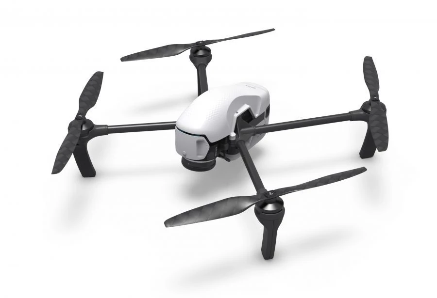
Geoscan Gemini Aerial Photography Complex for Efficient Mapping and Surveying
Manufacturer:PLAZ LLC
Price:Request Quote
Bulk pricing available
FOB, CIF & EXW terms available
Description
An unmanned aerial surveying system for operational mapping, geodetic works and cadastral surveying.Gemini is designed to make obtaining accurate spatial data easier, faster and cheaper.The built-in 20.1 MP Sony camera provides high quality images, while the Topcon geodetic receiver allows to obtain their coordinates with centimetre accuracy.
Specifications
Type of takeoff/landing
vertically
Dimensions
76x72x19 (with screws) cm
Maximum allowable wind speed
10
Absolute accuracy of the photogrammetric model in the horizontal plane
4 cm
Maximum takeoff weight
2 kg
Maximum shooting area
1
Maximum flight duration
40
Share your requirements for a quick response!
Instant response in 15 minutes
Best wholesale prices guaranteed
Direct from manufacturer
Delivery & Payment
Shipping Terms
Delivery Time
Sea freight: 30-60 days (depending on destination) Air freight: 14-21 days (for urgent orders)
Payment Methods
Similar Products You May Be Interested In
Remote Aerial Surveillance Complex with Drones "Supercam S250
View Details
Supercam S100 Unmanned Aerial Vehicle Complex
View Details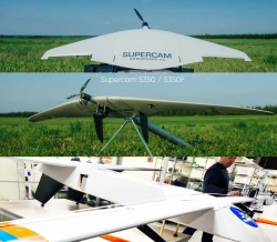
Advanced Unmanned Aerial System for Remote Surveillance (UAS STKT)
View Details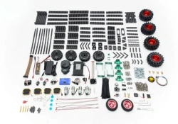
TRIK Geoscan "Advanced" Drone Exploration Kit
View Details
Supercam S450 Unmanned Aerial Vehicle System
View Details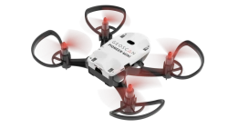
Multi-Functional Educational Drone - Pioneer Mini
View Details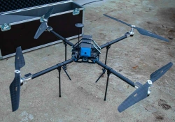
Phoenix-3 Unmanned Aerial Vehicle Complex
View Details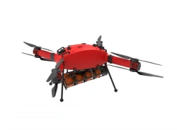
Prometheus Hybrid Drone Aviation Complex
View Details
Vertical Takeoff and Landing UAV System "IKS 7" (Fixar 007)
View Details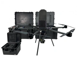
Centurion Tethered Drone UAV - Advanced Aerial Surveillance
View Details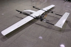
Sigma Unmanned Aerial System (UAS)
View Details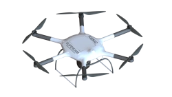
Remote Aerial Surveillance System with Drones "Supercam X6M2
View DetailsVerified Suppliers
All products are sourced directly from authorized Russian manufacturers
Quality Assurance
Products meet international quality standards with proper certification
Global Shipping
Reliable logistics solutions to deliver products to your location
Secure Payments
Multiple secure payment options to facilitate international transactions