 Available for Import
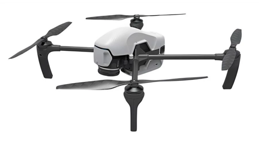
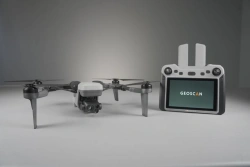
Geoscan Gemini UAV System - Ideal for Aerial Surveying and Mapping
Manufacturer:
GEOSCAN LLC
Price:
Request Quote
Bulk pricing available
FOB, CIF & EXW terms available
Description
Geoscan Gemini is an unmanned aerial system with vertical take-off and landing that includes an unmanned aerial vehicle (UAV) and flight mission planning software. The system is designed to automatically perform flights of up to 40 minutes.
Specifications
Operating temperature range
-15...40 °C
Max. permissible wind speed
10
Max. flight altitude above ground level
500 m
Max. flight altitude (above sea level)
4000 m
Diagonal dimension of the BWS (without screws)
550 mm
Max. airspeed (horizontal)
15
Max. airspeed (vertical)
5
Max. flight duration
40
Maximum takeoff weight
2 kg
Engine type
Electric motorless
Type of product according to PP RF 616
Helicopters and airplanes
Note: All specifications are provided by the manufacturer and may be subject to change. Please contact us to confirm the latest specifications before placing your order.
Share your requirements for a quick response!
Instant response in 15 minutes
Best wholesale prices guaranteed
Direct from manufacturer
Delivery & Payment
Shipping Terms
Delivery Time
Sea freight: 30-60 days (depending on destination)
Air freight: 14-21 days (for urgent orders)
Payment Methods
Similar Products You May Be Interested In
Drone Aviation System "Dron aeroport ERI MINI" with UAV "Geoscan 801
View Details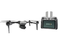
Geoscan 801 Unmanned Aerial System (UAS)
View Details
Kamikaze Drone RTD-K10 - Compact and Highly Maneuverable
View Details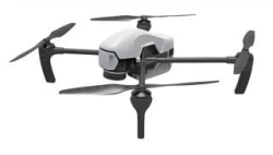
Geoscan Gemini M Drone - Multispectral Aerial System
View Details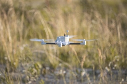
Mini Drone System for Aerial Surveillance "Goliath
View Details
OMEGA Unmanned Aerial System - Multirotor Drone
View Details
Educational Modular Quadcopter Kit for Programming (AR-UAV-EDU-03)
View Details
GeoScan Lite Aerial Photography Drone System
View Details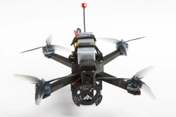
Reconnaissance and Strike Drone RTD-1
View Details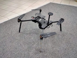
Multifunctional Unmanned Aerial System "Shmel
View Details
Educational Programmable Quadrotor Drone Kit for Learning UAV Control - Gaskar Pro
View Details
Comprehensive Quadcopters Development Kit for FPV and Autonomous Navigation
View DetailsVerified Suppliers
All products are sourced directly from authorized Russian manufacturers
Quality Assurance
Products meet international quality standards with proper certification
Global Shipping
Reliable logistics solutions to deliver products to your location
Secure Payments
Multiple secure payment options to facilitate international transactions