 Available for Import
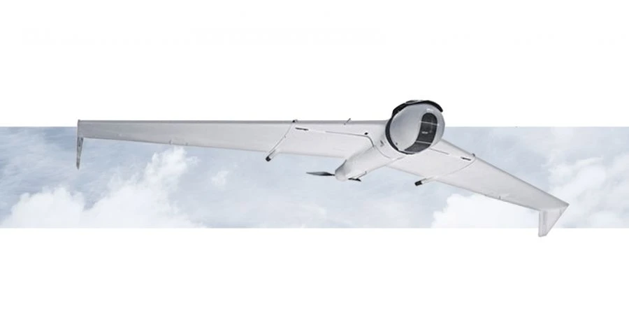
ZALA 421-16TM Drone Aviation Complex for Efficient Aerial Surveying
Manufacturer:CST LLC
Price:Request Quote
Bulk pricing available
FOB, CIF & EXW terms available
Description
The ZALA 421-16TM unmanned aerial system based on medium-range unmanned aircraft is designed to carry out aerial survey for various purposes with the use of special target loads for recording and broadcasting video images in the day and infrared spectrum, aerial photography, etc.
Specifications
Wingspan
1.81 m
Maximum takeoff weight
6.5 kg
Flight duration
2.5
Share your requirements for a quick response!
Instant response in 15 minutes
Best wholesale prices guaranteed
Direct from manufacturer
Delivery & Payment
Shipping Terms
Delivery Time
Sea freight: 30-60 days (depending on destination) Air freight: 14-21 days (for urgent orders)
Payment Methods
Similar Products You May Be Interested In
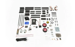
TRIK Geoscan Starter Kit for Mobile Robots
View Details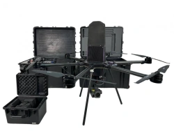
Centurion Tethered Drone UAV - Advanced Aerial Surveillance
View Details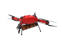
Prometheus Hybrid Drone Aviation Complex
View Details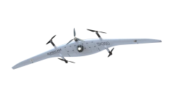
Supercam SX350 Unmanned Aerial Vehicle System for Aerial Surveying
View Details
Multi-functional Helicopter-type Unmanned Aerial System JRG.A.461417.099
View Details
Geoscan Gemini Aerial Photography Complex
View Details
Remote Aerial Surveillance Complex with Tiltrotor UAV "Supercam SX200H
View Details
Continuous Air Monitoring Drone "PHOENIX SPP
View Details
Pilgrim Multirotor Drone - VTOL UAV
View Details
Vertical Takeoff and Landing UAV System "IKS 7" (Fixar 007)
View Details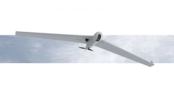
Long-Range UAV System ZALA 421-16T
View Details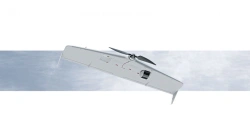
Tactical Drone System for Aerial Surveillance ZALA 421-08T
View DetailsVerified Suppliers
All products are sourced directly from authorized Russian manufacturers
Quality Assurance
Products meet international quality standards with proper certification
Global Shipping
Reliable logistics solutions to deliver products to your location
Secure Payments
Multiple secure payment options to facilitate international transactions