 Available for Import
Geospatial Support Program "Vega-Altamira" for Enhanced Data Visualization
Bulk pricing available
FOB, CIF & EXW terms available
Description
The key functionalities of the system: <ol> <li>Geospatial visualisation tools: visualisation of geodata and operational information in 2D and 3D representation; simultaneous display of 5000 dynamic (20 Hz) and 20000 static objects; output of information to collective display tools with 4K resolution and b with 4K resolution and more; flexible setting of display symbols; tools for quick creation of terrain models; integration of video data.</li> <li>Geoportal: input, storage, search and viewing of all common geodata formats; formation of continuous geospatial coverages of the earth surface; parallel and distributed processing of raster data of large sizes; semantic search on raster data.</li> <li>Computational-modelling system: support of multi-agent architecture functioning, which includes analytical and modelling agents; fast integration of analytical algorithms, physical process models, behavioural models due to availability of built-in development tools; large number of built-in algorithms and models.</li> <li>Means of monitoring and control of operational objects fast integration of new types of objects due to the use of special interface modules; routing, delivery and archiving of telemetry, control commands, events, media data; built-in embedded library of graphical control and monitoring modules.</li> </ol>.
Share your requirements for a quick response!
Delivery & Payment
Shipping Terms
Delivery Time
Payment Methods
Similar Products You May Be Interested In

Terra.Geodesy Software Product
View Details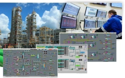
SCADA System for Advanced Automated Process Control – ATOM-NN
View Details
KAMA Software for IT Support in Oil and Gas Exploration
View Details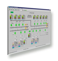
SCADA-NEVA Software for Real-time Monitoring Systems
View Details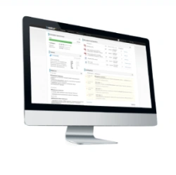
SCADA.WEB HMI/SCADA Software for Real-Time Visualization
View Details
INGI Software for Enhanced Business Management
View Details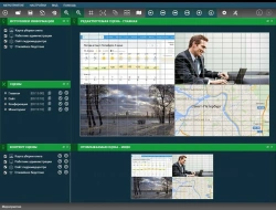
Information Display Control Software-Hardware Complex "Vitraj
View Details
Online Legal Assistance for Citizens
View Details
Vega-Irida Video Conferencing and Collaboration System
View Details
Unified Telemechanics Event Detection Software (PONS UNK TM)
View Details
Vega-Altamira Geospatial Support Program
View Details
Vega-Sphinx Educational Process Automation Software
View DetailsVerified Suppliers
All products are sourced directly from authorized Russian manufacturers
Quality Assurance
Products meet international quality standards with proper certification
Global Shipping
Reliable logistics solutions to deliver products to your location
Secure Payments
Multiple secure payment options to facilitate international transactions