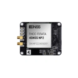
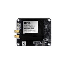
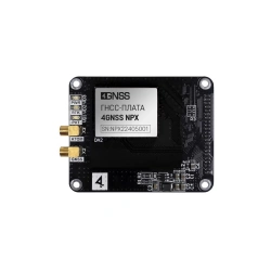
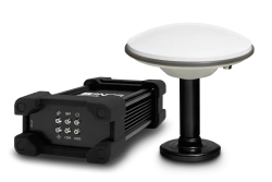
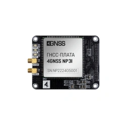
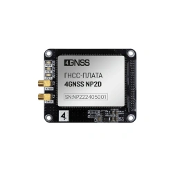
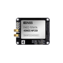
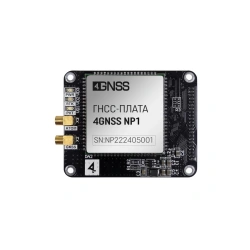
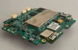
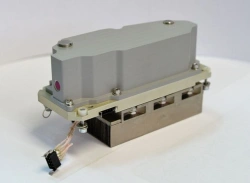
Dual-Frequency GNSS Receiver Board 4GNSS NP2
Surveying Instruments


The Surveying Instruments category offers a range of essential tools designed to meet the precise needs of businesses involved in construction, land surveying, and geospatial analysis. These tools are indispensable for professionals who need to determine exact locations, measure distances, and map out areas accurately, which is vital for infrastructure development in regions like Africa, the Middle East, and South Asia.
Key Business Solutions: Our surveying instruments help solve critical problems such as accurate land measurement, geodetic data collection, and underground utility detection. These solutions are essential for construction firms, urban planners, and geologists who require precise data to make informed decisions.
Applications and Use Cases: Surveying instruments are used in a variety of applications, including:
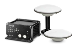
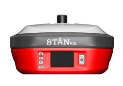
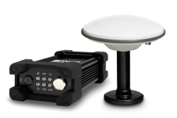
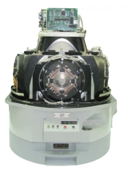
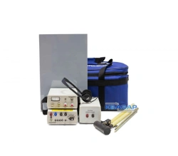
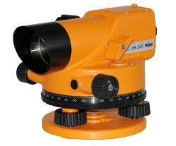
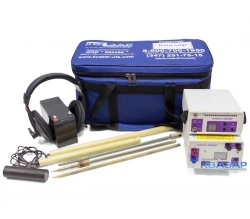
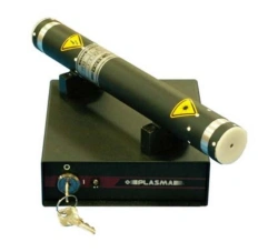
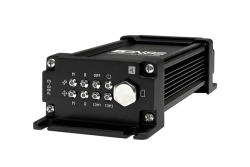
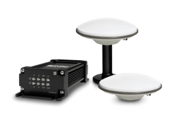
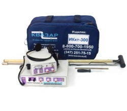
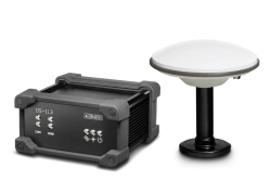
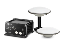
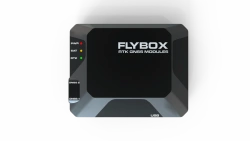
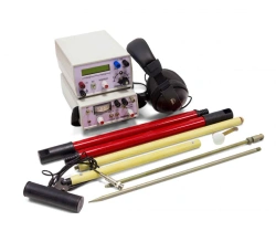
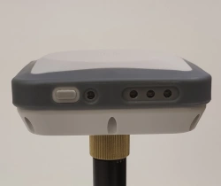
Technical Characteristics: Our products range from GNSS receivers with capabilities for centimeter-level accuracy, to trace detectors used for identifying hidden underground utilities. These instruments typically feature robust designs suitable for harsh environments, with functionalities such as multi-frequency support, RTK capability, and high-precision measurement capabilities.
Relevance to African Markets: The demand for infrastructure development and urbanization in many African countries provides a lucrative opportunity for surveying instruments. These tools are critical for governments and private firms focusing on road construction, housing projects, and resource management. The precision and reliability of these instruments ensure that projects are completed on time and within budget, making them a valuable asset for any business in these markets.
Profit and Growth Potential: Importing and distributing surveying instruments can be a profitable business due to the ongoing need for infrastructure development across developing regions. With a growing emphasis on accurate data collection for project planning and execution, these instruments offer a clear path to business growth.
In Russia, the geospatial industry has seen significant advancements with the integration of modern GNSS technologies, leading to improved accuracy and efficiency in surveying practices. This expertise is now being translated into tools that are available globally, ensuring that businesses in emerging markets can benefit from cutting-edge technology.
To order products from Russia through our platform, select the product you're interested in, click the "Request Quote" button, and fill out the request form. Our managers will contact you to clarify the details and provide a commercial proposal.
We offer various payment methods, including prepayment, partial payment, irrevocable letter of credit, and other options. Payment terms are discussed individually for each deal and depend on the order volume, delivery country, and supplier requirements.
We deliver Russian products to any point in the world. Our company has well-developed logistics routes and partnership relationships with transport companies, which allows us to organize delivery as efficiently as possible.
Yes, we work with requests for supply of products that are not in our catalog. Send us a technical assignment or describe the required product, and we'll find a suitable manufacturer in Russia.